
Brand
Zetron
Zetron is a critical communications technology company providing integrated command & control solutions and services with legendary reliability & support. For 40 years, Zetron has delivered interoperable end-to-end command and control systems across multiple industries and international markets
Only logged in customers who have purchased this product may leave a review.
Related products
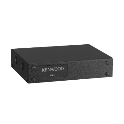
Communications
Communications
$44.00 – $46.70

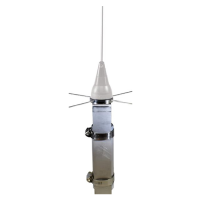
Communications
$46.55 – $160.55
Communications
$23.10
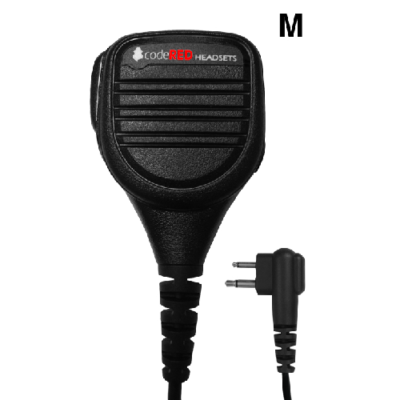
Communications
Communications
Communications
$84.55
Communications
$37.05
Reviews
There are no reviews yet.